
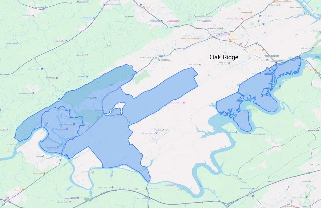
The LandWatch Viewer provides LandWatch monitoring information for the former East Tennessee Technology Park and surrounding areas within the Department of Energy Oak Ridge Reservation.
The LandWatch Monitored Area primarily covers properties that have been, or are planned to be, transferred from federal control to private parties, many of which include land use controls or deed restrictions affecting or setting conditions on future land use.
The LandWatch Viewer is powered by Terradex LandWatch®. The Oak Ridge Reservation instance was developed on behalf of the Oak Ridge Office of Environmental Management in consultation with United Cleanup Oak Ridge LLC.
Property Transfer Viewer
The Oak Ridge Office of Environmental Management periodically mails letters to property owners within the LandWatch Monitored Area to help inform them about any land use controls, such as deed restrictions, affecting the Property. These letters help property owners, as they may change over time, to remain aware of land use controls.
The mailed letters contain a Letter ID. Enter the Letter ID here to access an interactive map to view the location and boundary of the Property, find land use control details, and related contextual information about the Property and surrounding vicinity.
Advisory Viewer
The Advisory Viewer is not yet available. When it opens, excavation and transfer advisory recipients will be able to enter the Advisory ID from their notice to view the advisory area and the precautions that apply to it.
Password View
Password sign-in is not yet available. When it opens, credentialed agency and regulator users will be able to sign in here for a broader view of LandWatch monitoring information across the Monitored Area.